This is a comprehensible labeling tool with a flexible pipeline that helps you save a lot of time spent on your data while still retaining high accuracy using the power of Al

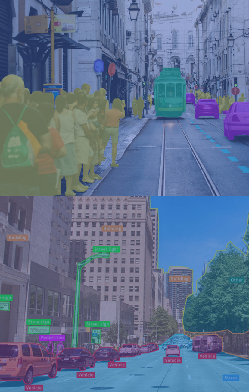
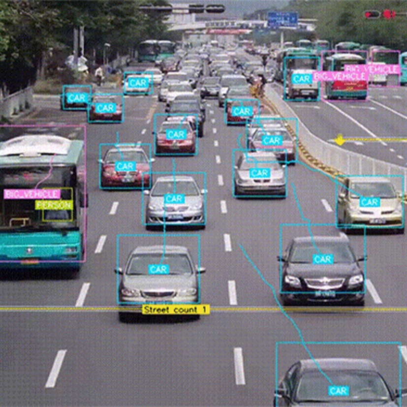

With precise capture tools, we annotate all types and sizes of photos, making them identifiable for machines or computer vision.
We label images from many domains with the best tools and approaches, giving training data for machine learning in various subfields.

The aim is to make the moving items identifiable for computers or machines by capturing each object in videos with interpolated labels from frame to frame.
We can convert any type of your video into a sequence of images, and use the automated tool to forecast and track the object trajectory

Smart document processing software that integrates the best of OCR technology with human perception.
VBPO's AI-OCR solution is developed on the basis of artificial intelligence to produce more accurate results for various types of documents. Content includes print, handwriting, and even ones that have been deleted and edited.

Voice annotation: Provide a recorded speech data, a platform to annotate audio files.
Data creation: Work with Client-required equipment or set it up ourselves is to produce graphic data
Data collection : Work with datasets from open source image repositories that cover a variety of real cases
This is a comprehensible labeling tool with a flexible pipeline that helps you save a lot of time spent on your data while still retaining high accuracy using the power of Al
We also provide highly professional human workers as part of the flexible pipeline described above to help your data reach over 99% accuracy.
Highly accurate labeled data.
Time-saving process.
Flexible pipeline.

Segment objects on the driving regions such as vehicles, houses, tree, snow, sign, etc. up to 54 layers in Pixel-level accuracy.
.png)
.png)
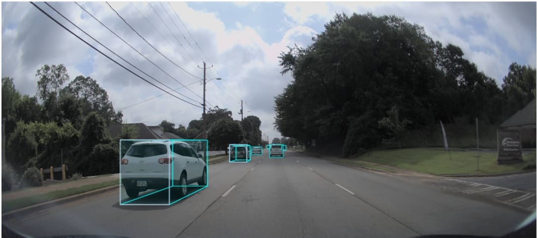
Apply bounding box for vehicle, traffic light, road marking, etc. and put attribution to them (light color status, vehicle dimension, etc.).
.jpg)
.PNG)
Annotate objects using polygon and polyline with 3 pixels deviation.
.jpg)
.PNG)
Track objects persistently across multiple frames.
Set alarm for radar sensing device, notifying if there is an object entering the radar area.
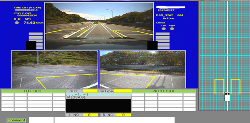
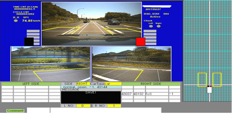
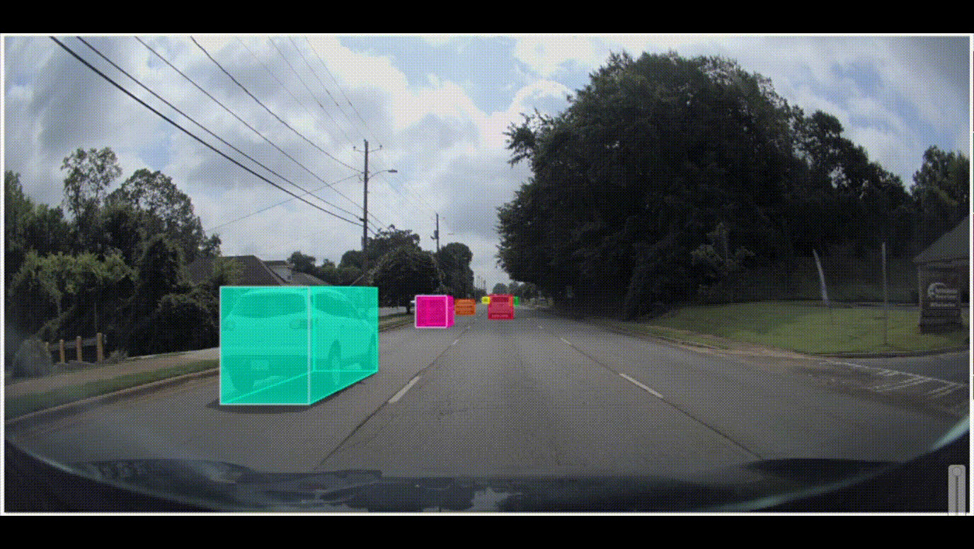
Elevate your computer vision training model with annotated 3D objects from 2D photos and videos to detect accurate dimensions and directions for automated driving function. Our cuboid annotation services assist self-driving models in comprehending real-world scenarios.

.png)
.png)
.jpg)
.PNG)
.jpg)
.PNG)


These robots are trained to carry out dangerous or heavy tasks such as lifting or moving materials. By using our labeling service, they can serve with better decision making.
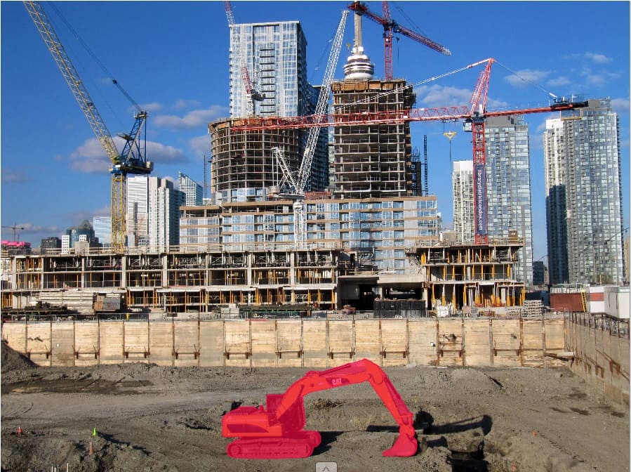
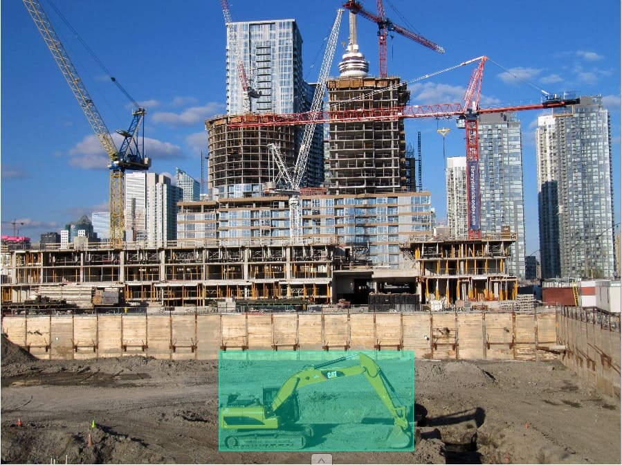

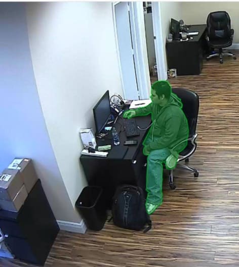
From CCTV cameras in the office, people's postures and actions can be put in to analysis to enhance security levels. Also, they are more free from some of the household chores thanks to the indoor robots, being trained by masked and segmented data to improve navigation accuracy
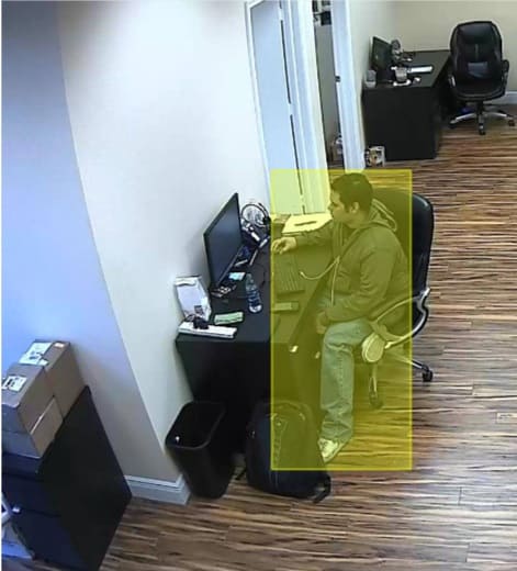
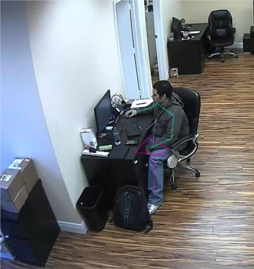

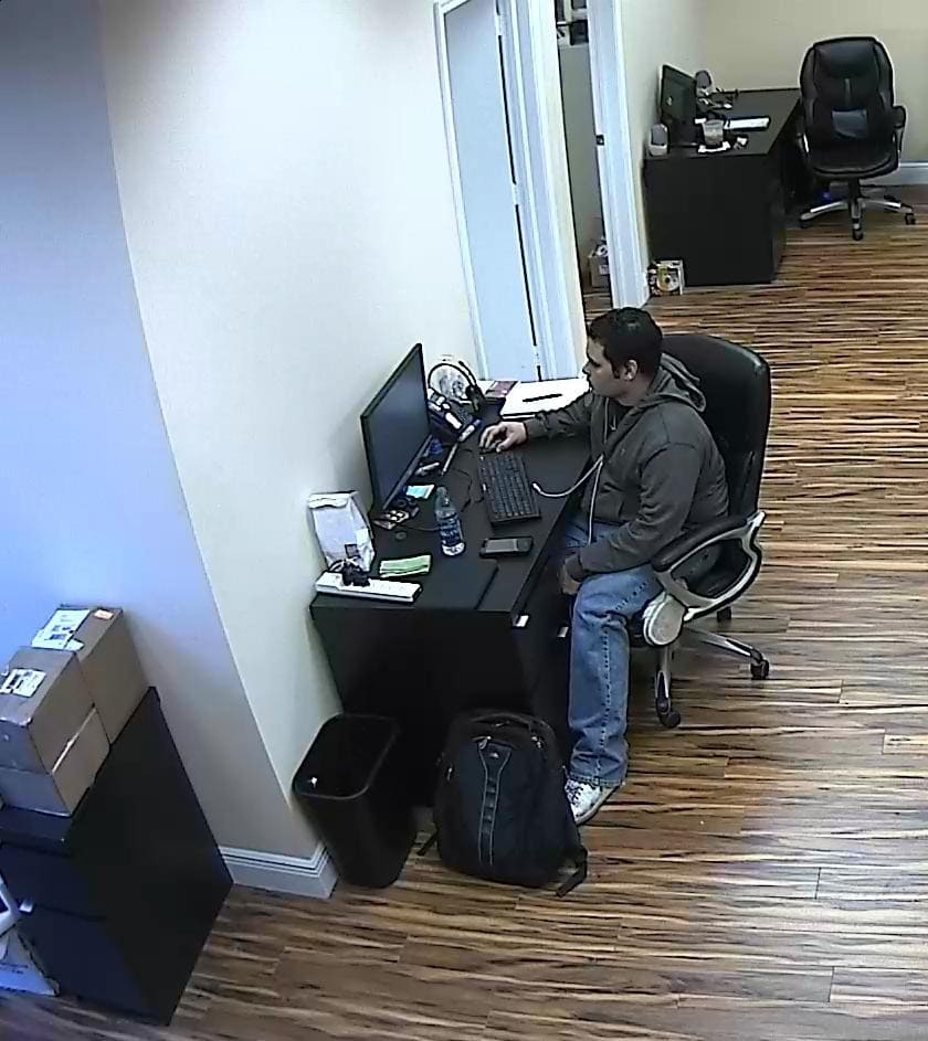
With machine learning data, livestock and poultry are now more comprehensively cared for and provided with early intervention when there is a health problem more promptly
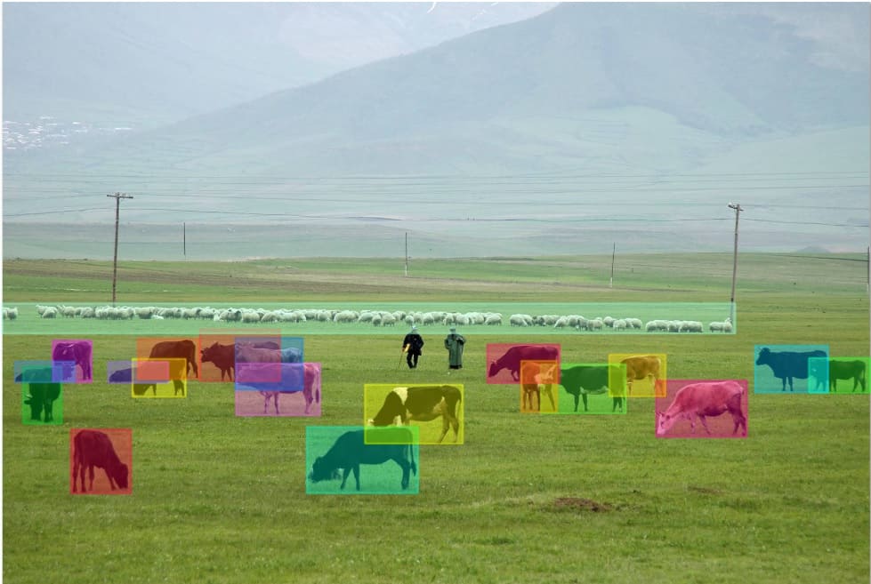

Harvesting and picking is normally the first choice for robotic applications in agriculture thanks to their accuracy and speed to improve the yield scale and minimize waste from crops.


- Project Team: 11 Staff
- Project Volume: 40,000 Frames
- Output Type: .PNG
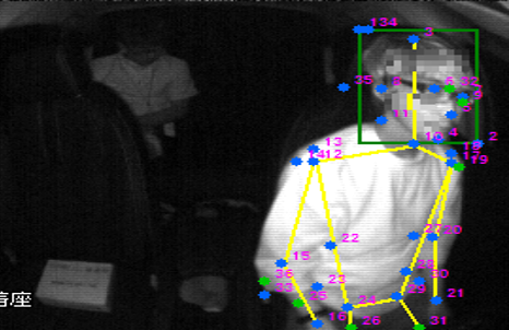
- Annotate 12 to 36 landmarks on driver's face and body; then label them as postures or actions.
- Project Team: 55 Staff
- Project Volume: 155,518 Images
- Output Type: .PNG
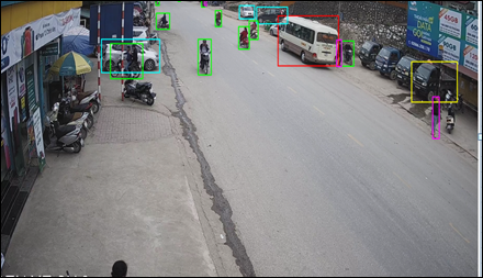
- Annotate images from traffic CCTV
- Recognize license plates on vehicles
- Label characters (letters and numbers) on those plates with bounding boxes to define corresponding parameters such as regions, vehicle types, etc.
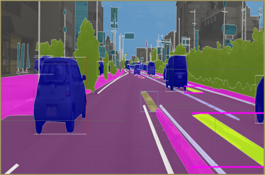
- Project Team: 109 Staff
- Project Volume: 22,679 Images
- Output Type: .PNG
- Recognize available objects on the driving scenes: vegetation, housing, vehicles, roads and annotate them by segmentations
- Define possible attached objects: cell phones, umbrellas, hand bags or backpacks and annotate them by segmentations
- Define related attributes: Weather, state of surface, foggy view, season, etc.
- 54 classes in total.
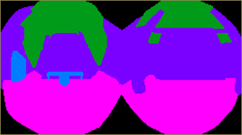
- Project Team: 47 Staff
- Project Volume: 38,000 Images
- Output Type: .PNG
- Annotate fish-eye images from office CCTV
- Define 6 classes of objects and label them by segmentations
- Define visible objects like human or items on construction field and label them by segmentations
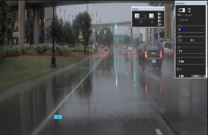
- Project Team: 50 Staff
- Project Volume: 258,000 Frames
- Output Type: .YAML
- Annotate lanes, pavement, sidewalk area for ego vehicle by drawing lines
- Define and assign attributes: weather, surface conditions, etc.

- Project Team: 30 Staff
- Project Volume: 686 Files
- Output Type: .JSON
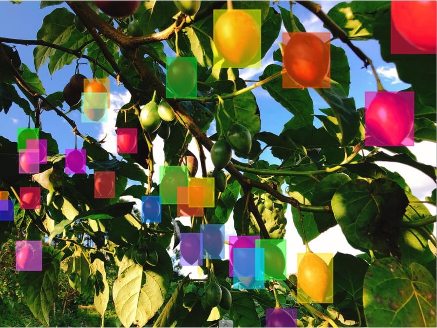
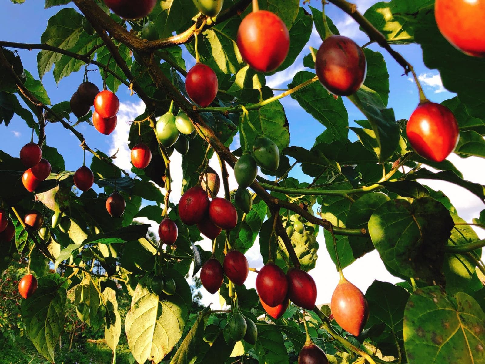
- Label chicken and tomatoes with Polygons and assign them with attributes: tomato color or chicken size

- Project Team: 165 Staff
- Project Volume: 108,210 Images
- Output Type: .TXT
- Define visible vehicles and traffic objects from lidar on 3D point cloud and label them with cuboids
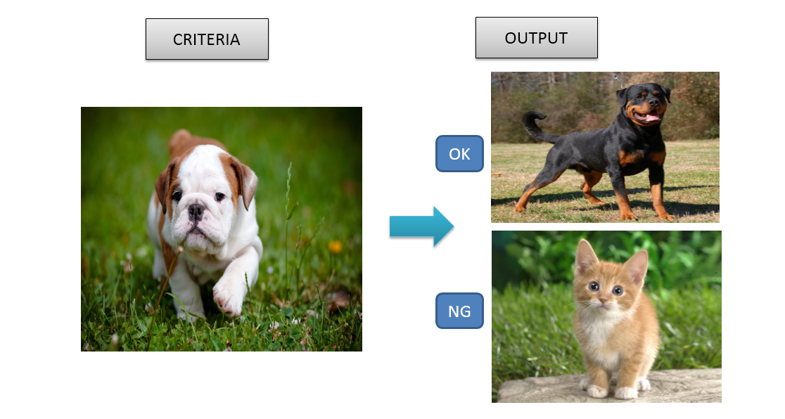
- Project Team: 6 Staff
- Project Volume: 2,000,000 Images
- Output Type: .PNG
- Reference images for categories are provided.
- Classify images in a folder into corresponding categories
- Project Team: 65 Staff
- Project Volume: 35,000 Images
- Output Type: .TXT
- Define visible lanes, vehicles and traffic signals in dash cam videos
Flexible plan for once-off and small volume projects
Optimal plan for stable and long-run projects